The so-called “Gia Định Citadel Gate”
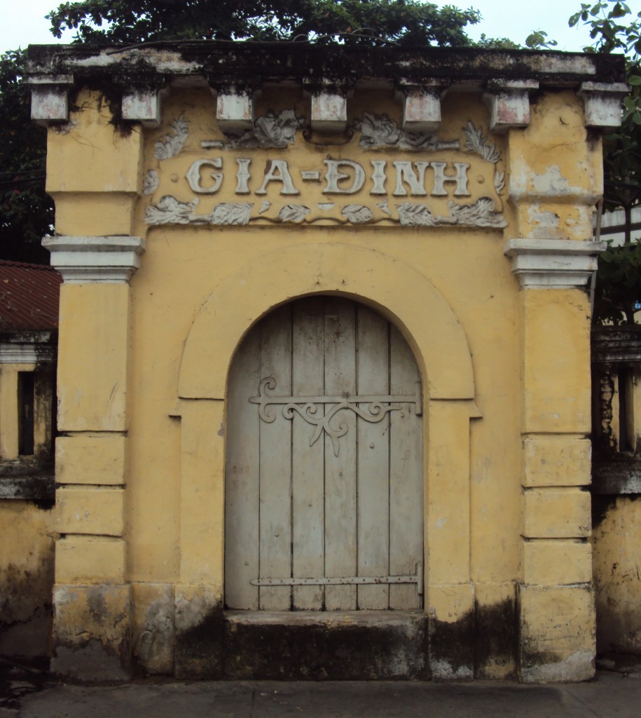
It’s claimed by several tourism websites that a gateway from one of the ancient Gia Định citadels has survived and may be viewed on the Đinh Tiên Hoàng/Phan Đăng Lưu street intersection in Bình Thạnh district, close to the Lê Văn Duyệt Mausoleum. However, a little research into the history of that area reveals that the gateway in question has more recent origins.

A 1966 map of what is now the Đinh Tiên Hoàng/Phan Đăng Lưu junction
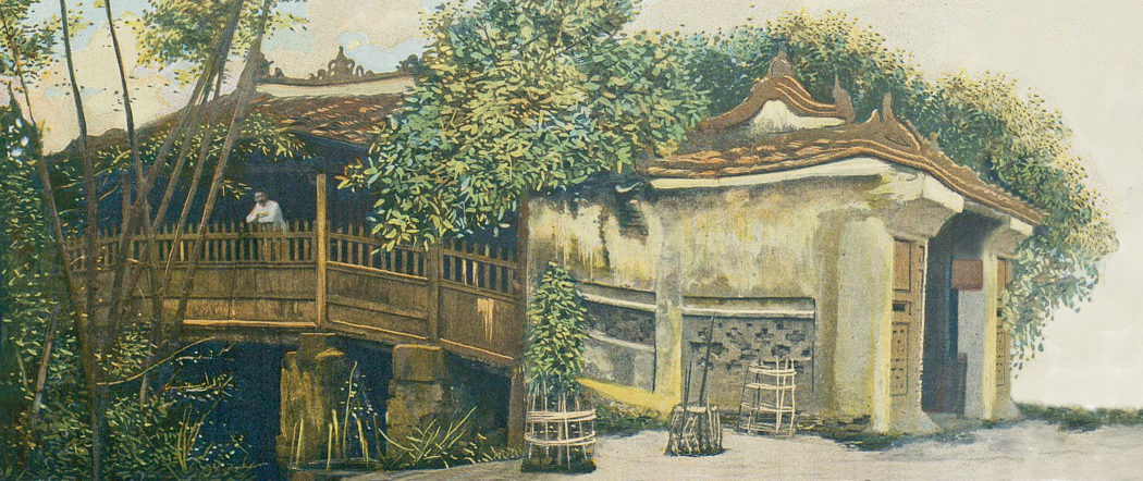
The gateway, popularly known as the Gia Định Citadel Gate (Cổng thành Gia Định), is built into the outer wall of the Trương Công Định Primary School and does bear a very superficial resemblance to the east gate of the 1837 Gia Định Citadel, as depicted in the famous drawing of the French attack of 1859, although clearly it was conceived on a significantly smaller scale.
However, since neither the Lũy Bán Bích city walls of 1772 nor the two citadels of 1790 and 1837 (see my earlier post, The Citadels of Gia Định) were located anywhere near this neighbourhood, the idea that it ever formed part of those structures may be ruled out.
Old maps reveal that the Trương Công Định Secondary School stands on the site formerly occupied by the historic Gia Định School of Drawing (École de Dessin Gia-Dinh), an applied arts school set up by the French in 1913 to provide continuing studies for graduates of the Thủ Dầu Một School of Indigenous Arts (École d’Art Indigène de Thu-Dau-Mot, teaching mainly woodwork and lacquerware) and the Biên Hòa School of Arts (École d’Art de Bien-Hoa, teaching mainly ceramics and bronzecasting).

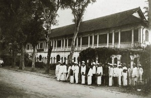
The École de dessin Gia-Dinh pictured in the 1920s
In the 1920s, a new two-storey headquarters was constructed for the Gia Dinh School on the west side of its original buildings (the location of the present-day University of Fine Art).
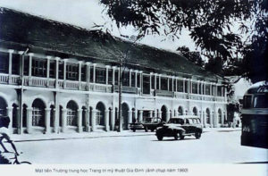
An important training ground for many pioneering southern painters and sculptors, the school was renamed the Gia Dinh School of Applied Arts (École des Arts Décoratifs de Gia-Dinh) in 1940, and after 1954 it became the Gia Dinh Secondary School of Decorative Arts (Trường Trung học Trang trí Mỹ thuật Gia Định, forerunner of today’s Hồ Chí Minh City University of Fine Art).

Gia Định Secondary School of Decorative Arts photographed in 1960
Thereafter, all of its operations were concentrated on the 1920s building, permitting the redevelopment of the original site on the modern Đinh Tiên Hoàng-Phan Đăng Lưu intersection. The latter is now home to the Trương Công Định Secondary School,
However, an original gateway inscribed with the words “Gia-Dinh,” dating back to the early years of the École de dessin Gia-Dinh, has survived on the junction to this day, and now forms part of the secondary school’s perimeter wall.
Tim Doling is the author of the guidebook Exploring Saigon-Chợ Lớn – Vanishing heritage of Hồ Chí Minh City (Nhà Xuất Bản Thế Giới, Hà Nội, 2019)
A full index of all Tim’s blog articles since November 2013 is now available here.
Join the Facebook group pages Saigon-Chợ Lớn Then & Now to see historic photographs juxtaposed with new ones taken in the same locations, and Đài Quan sát Di sản Sài Gòn – Saigon Heritage Observatory for up-to-date information on conservation issues in Saigon and Chợ Lớn.


Luy Ban Bich was constructed by Vietnamese general Nguyen Cuu Dam. He served as Supreme Commander under the Nguyễn lords and had built the walls in 1772 to protect Saigon from the Siamese army during the Burmese-Siamese War. Led by an emboldened Taksin who had achieved many initial military successes against the Burmese, Phi Mai Kingdom, Nakhon Si Thammarat Kingdom and Phitsanulok Kingdom, the Siamese army attacked both Ha Tien and Phnom Penh by surprise and overcame the Vietnamese defense. Lord Nguyen Phuc Thuan ordered general Nguyen Cuu Dam to lead the recovery effort of lost territories. The general dealt a blow to the invading Siamese army and retook both cities. Five years after coming back from the Cambodian campaign, he ordered the construction of Luy Ban Bich connecting the Ben Nghe canal to the Thi Nghe canal, enclosing Saigon with 3 canals and a long wall to bolster its defense. He also built the Ruot Ngua canal or “Horse Entrails canal.” connecting the Tau Hu canal to the Can Giuoc River in District 6, making waterway transport possible between the Mekong Delta and Saigon. While Luy Ban Bich is no longer in existence, the Ruot Ngua canal can still be seen along the East-West Corridor from District 8 all the way to District 6.
The Siamese-Burmese War
http://en.wikipedia.org/wiki/Burmese%E2%80%93Siamese_War_%281765%E2%80%9367%29
There is a street named after the general in Tan Phu District, near the airport, connecting Tan Son Nhi boulevard to Nguyen Quy Anh street.