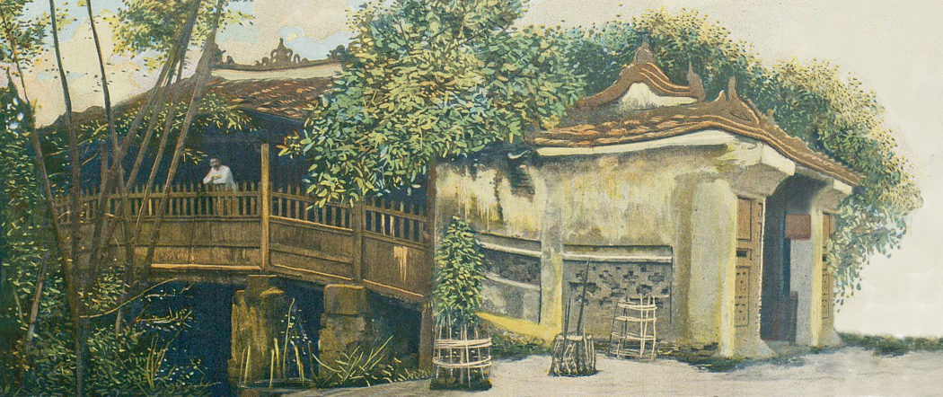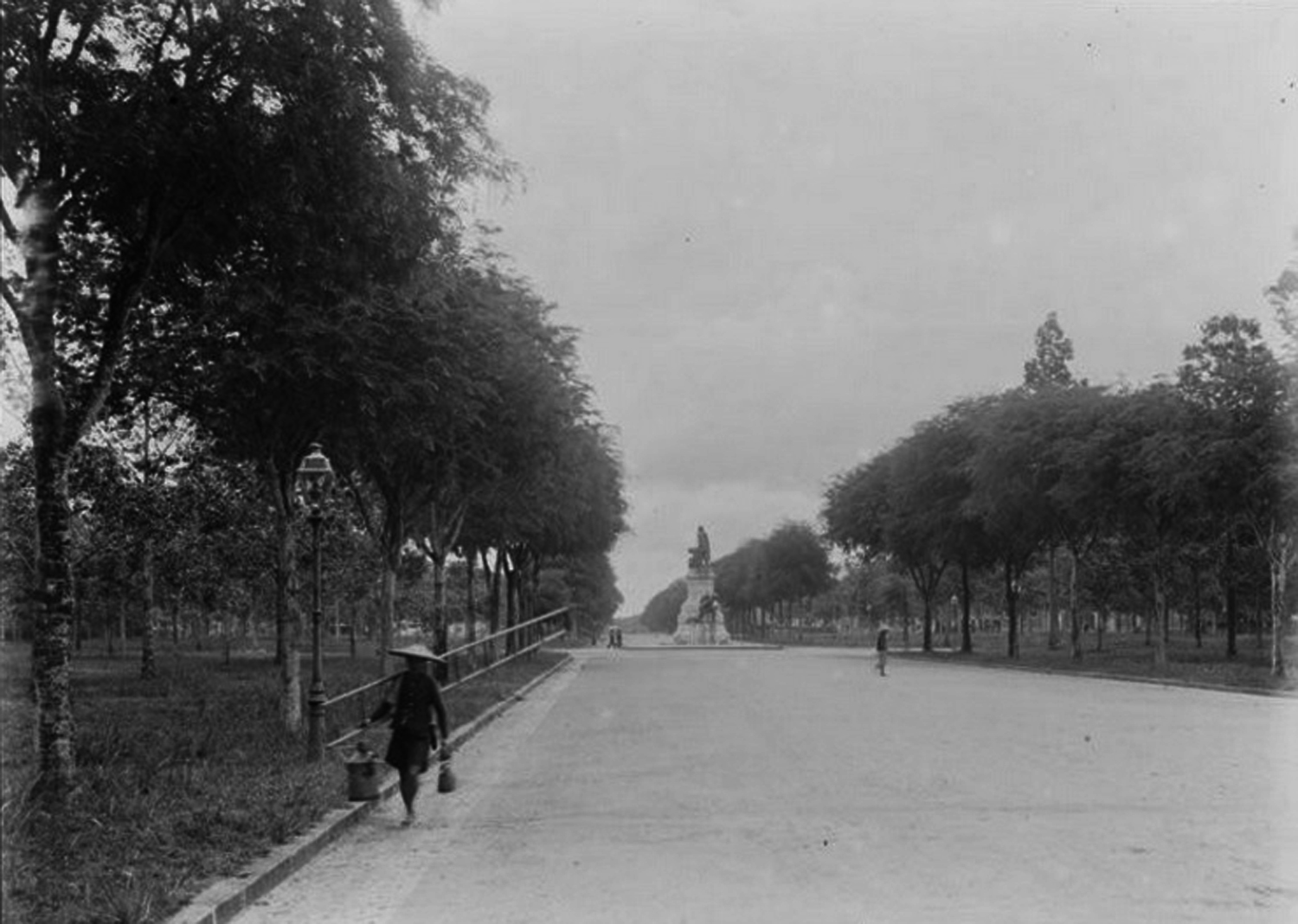
Boulevard Norodom, view looking east from the Palais du Gouvernement général (1895), by André Salles
This article was published previously in Saigoneer.
When it was first laid out in 1870, the broad avenue we know today as Lê Duản was christened boulevard Norodom, after the Cambodian monarch who in 1863 had entrusted his kingdom to the protection of the French.
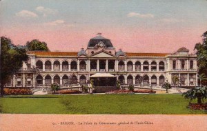
The Palais du Gouvernement général
Located immediately in front of the Palais du Gouvernement général (built 1868-1873) and described as “a beautiful avenue lined with tamarind trees,” boulevard Norodom was initially quite short, stretching only from the palace to the top end of rue Catinat (Đồng Khởi).
However, following the construction of the Caserne de l’Infanterie (Colonial infantry barracks) in the grounds of the old citadel in 1870-1872, the street was extended eastward in two stages – as far as rue de Bangkok (Mạc Đĩnh Chi) in 1874 and then all the way to the Botanical and Zoological Gardens in 1887-1888.
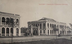
The Caserne de l’Infanterie
Boulevard Norodom incorporated two squares – one immediately behind the Cathedral (1880), which was used on a weekly basis during the colonial era for reviewing French troops, and the other at the junction of rue Pellerin (Pasteur), which from 1889-1914 incorporated an imposing statue of French statesman Léon Gambetta.
Early landmarks on the boulevard included the Cercle des Officiers (1876, now the District 1 People’s Committee) and the Hôtel du général (1879, now the French Consulate General).
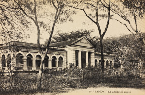
The Conseil de guerre
Those buildings were later joined by the Conseil de guerre (1902, located on the site of the US Consulate), the Hôtel du Contrôle financier (1902, recently demolished to make way for the “Lavenue Crowne” development), the Protestant Chapel (1904, now part of District 1 Cultural Centre), the Compagnie Franco-Asiatique des Pétroles headquarters (early 1930s, now Petrolimex), the Maison du combattant (currently the Kiến Thiết Lottery Company, scheduled for demolition) and the Foyer du Soldat et du Marin (1937, now the Hồ Chí Minh Campaign Museum).
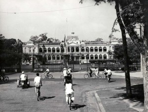
Ngô Đình Diệm used the old Palais du Gouvernement général as his presidential residence
Following the departure of the French, boulevard Norodom was renamed Thống Nhất boulevard by the Ngô Đình Diệm administration.
Over the next eight years, with the old Palais du Gouvernement général serving as Diệm’s presidential residence and the former French infantry barracks functioning as the headquarters of his elite republican guard, it continued to be used on a regular basis for troop reviews and military parades. However, after the overthrow of Diệm in 1963, the barracks was redeveloped for civilian usage, bringing the street’s military function to an end.
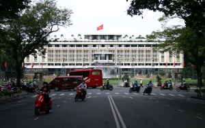
The Independence Palace designed by Ngô Viết Thụ
Bombed during a failed coup attempt in February 1962, the former Palais du Gouvernement général was rebuilt in 1962-1966 to a modernist design by architect Ngô Viết Thụ. Inaugurated on 31 October 1966, this new Independence Palace served as the RVN’s seat of government until April 1975.
After 1967, the site of the earlier Conseil de guerre building at 4 Thống Nhất boulevard became home to the Embassy of the United States of America, which had been transferred here from its earlier more vulnerable location at 39 Hàm Nghi, following a devastating car-bomb attack on 30 March 1965.
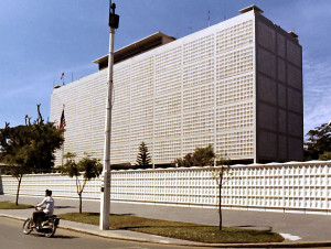
The second US Embassy in 1971 by Dennis Hancock
Since 1975, the street has been named after former Communist Party General Secretary Lê Duẩn (1907-1986). No longer forming a grand approach to a seat of government as it did in its first 100 years of existence, this famous Saigon street has now become a much sought-after “gold land” site, home to museums, consulates, government buildings and a range of mixed use developments, including hotels, office towers and shopping centres.
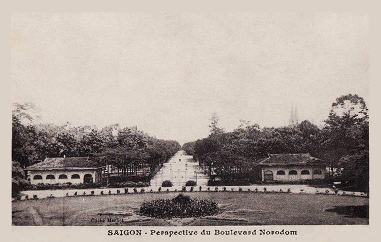
Saigon – perspective du boulevard Norodom
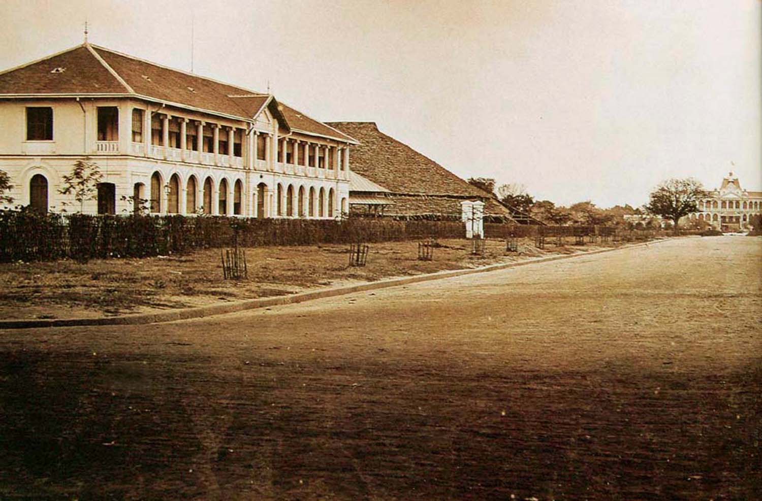
The Cercle des Officiers pictured in the late 1870s with the Cathedral under construction in the background
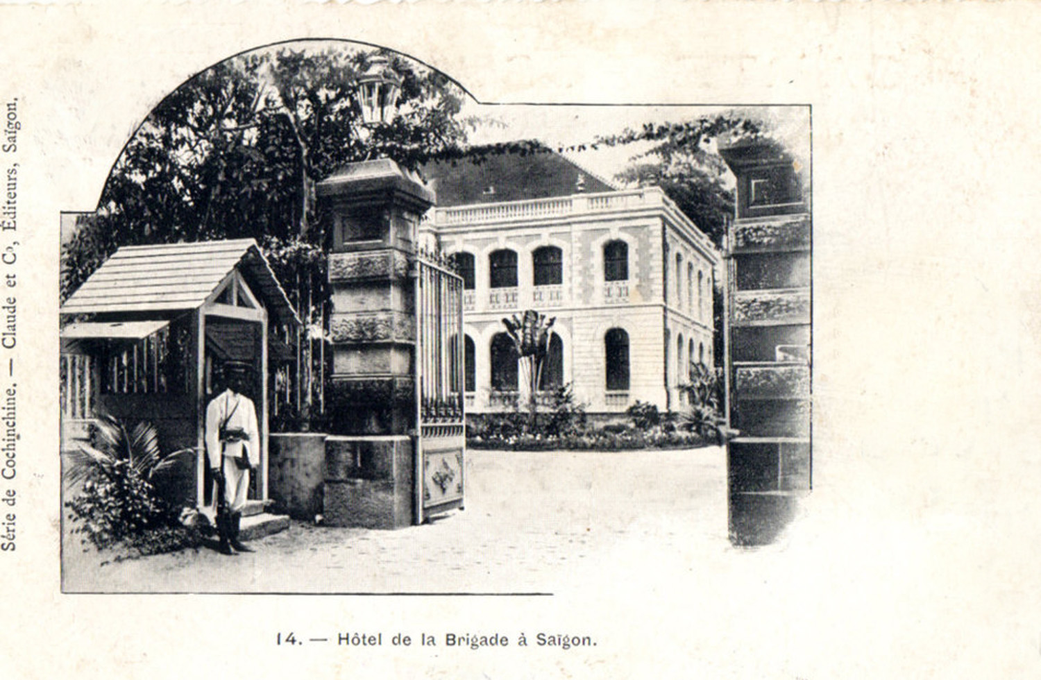
The Hôtel du général
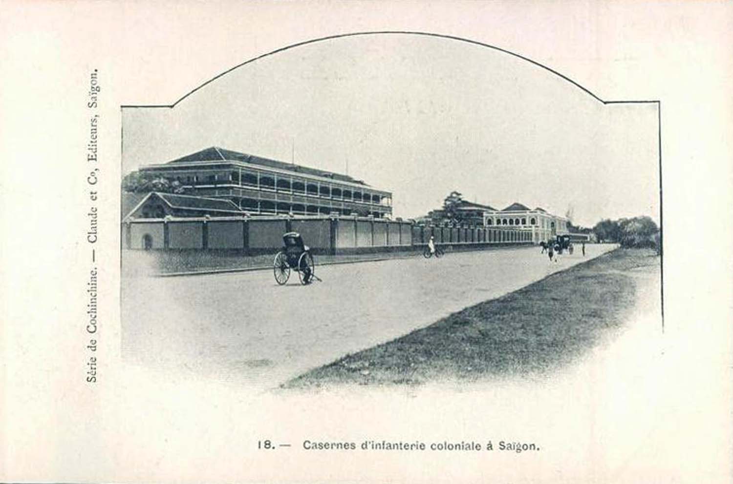
Another view of the Caserne de l’Infanterie on boulevard Norodom
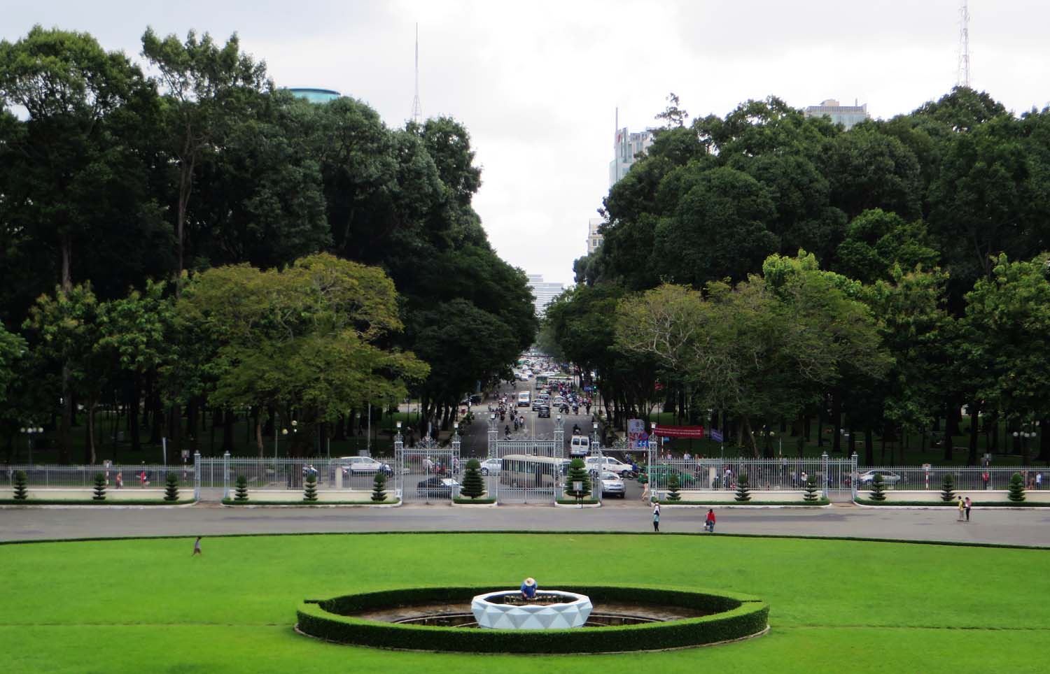
Lê Duẩn boulevard today
Tim Doling is the author of the guidebook Exploring Saigon-Chợ Lớn – Vanishing heritage of Hồ Chí Minh City (Nhà Xuất Bản Thế Giới, Hà Nội, 2019)
A full index of all Tim’s blog articles since November 2013 is now available here.
Join the Facebook group pages Saigon-Chợ Lớn Then & Now to see historic photographs juxtaposed with new ones taken in the same locations, and Đài Quan sát Di sản Sài Gòn – Saigon Heritage Observatory for up-to-date information on conservation issues in Saigon and Chợ Lớn.

